
Projects
GeoIP (2022 - 2023)
The GeoIP project is a dynamic approach for those municipalities who want promote the territorial resources of each geographical area for private investment. This platform has as principal entities the City Halls of Matosinhos, Porto Gaia and Lisbon and was firstly presented to the public in MIPIM 2023 - Cannes and Urban Rehabilitation Week - 2023 in Lisbon.
In this project I am the resposible for GIS data managment using PostgreSQL+PostGIS; for GIS data web deploy we use GeoServer; for the thematic layering arrangement;for GIS development applying OpenLayers.
I'm also working on animated storymaps using HTML, CSS, JavaScript, GSAP, OpenLayers, GeoServer.
The GeoIP project as been quite challenging because forces myself to think in dynamic maps, mostly based on web mapping. As well is giving me the opportunity to interact with several GIS departments.
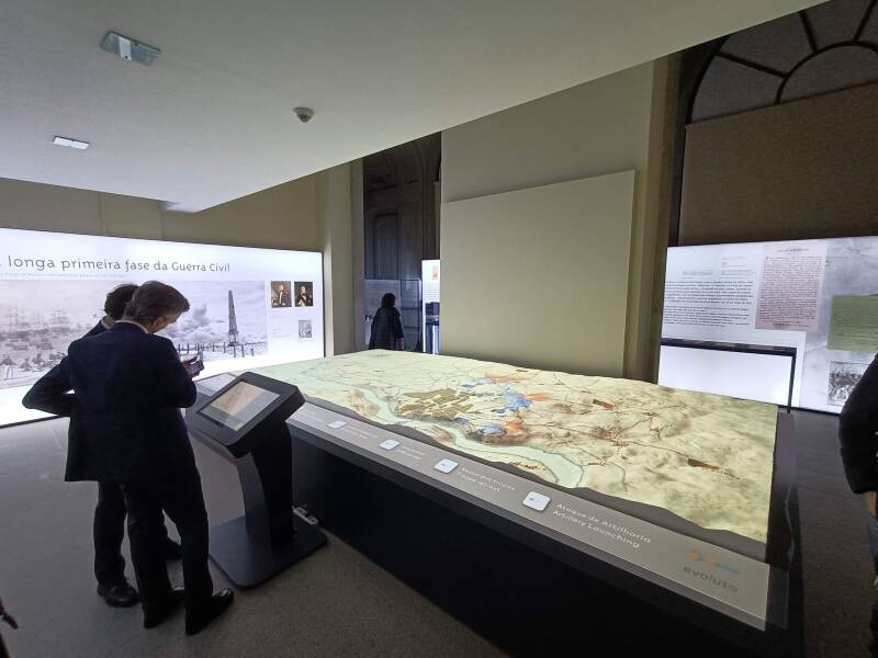
"D. Pedro - The independecy of Brazil and Porto" Exhibition (2022)

The exhibition of D. Pedro - The Independence of Brazil and Porto turned the Porto City Hall building into an historical museum. My contribution was required in creating cartographic content based on Historical maps of Porto siege.
The proposal was to create 4/5 maps reconstructing battles key-events to be displayed in a 3D model.
This project was achieved with georeferencing old maps, creating GIS data from scratch with ArcGIS Pro and adding the final details using Adobe Illustrator.
The exhibition is cadidate to the Portuguese Association Museology (APOM) for Temporary Exhibitions category. The D.Pedro Exhibition project allowed me to improve my cartographic skills on thinking static maps and my comunicational skills when interacting with clients.
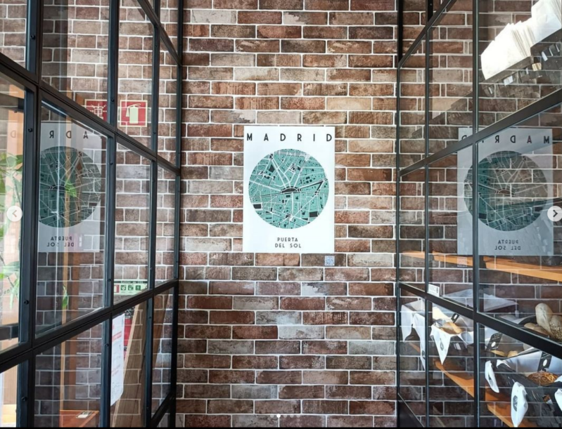
Map Club (2021 - present)
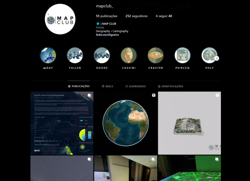
The Map Club project started in February of 2021 due to my passion for Geography and Cartography. The initial objective was to produce simple and easy-to-read maps. More like a design approach on cartographic issues.
During the summer of 2021 I had the opportunity to lead an exhibition in Ponto 2 Gallery, located near the Casa da Música metro station, Porto.
Due to my technical and theoretical growing, I've been more focused on create cartographic infographies and small presentation videos with 3D models.
WebGIS & Urban Art (2020)
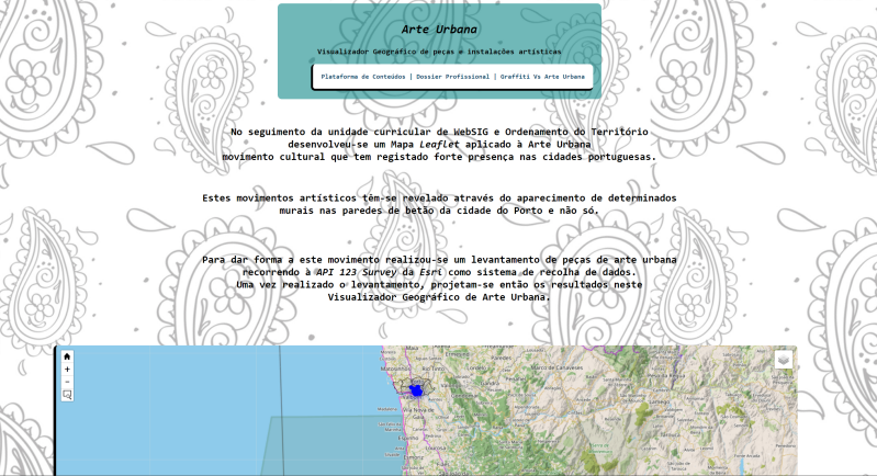
Web GIS & Urban Art is a section on Edgar Content Platform used to promote the Geographer Academic Profile.
In Web GIS apllied to Territory Planning class, I've conducted several approaches on promoting my Academic works & programming skills. It was developed the Web GIS platform based on field surveys on urban environments of Porto and Estarreja Municipalities. The objective was to collect the coordinates of Urban Art sites, the author an the appreciation of each art mural with Survey123 as mobile app. Were apllied libraries like Leaflet using HTML, CSS & JavaScript code languages.
Finally, the project was loaded into GitHub repository and published online.

Crie seu próprio site com Webador